loading map - please wait...
Auxiliary fort: Batina Skela – Ad Militare
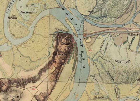
The castellum was located on the elevation above the village Batina Skela, on the site called Gradac. The inscription on the milestone discovered there in 1870 indicates that Batina Skela was 176 milla passum from Aquincum. Unfortunately, the construction of the enormous bronze monument that was erected in the eastern part of Grada in 1947 probably destroyed the remains of its former architecture. The archaeological excavations carried out in 1970 and 1971 in the vicinity of the monument revealed the corner of the castellum fortification wall, as well as large quantities of Roman construction material that contained some pottery, coins and a number of bricks with stamps of military units.
Military units:
cohors II Augusta Thracum equitata; cohors II Asturum et Gallaecorum equitata i cohors II(VII?) Breucorum; legio II Adiutrix; a u 4. st. legio VI Herculia i equites Flavianense.
Literary sources:
ND occ. 33, 45
Archaeological monuments:
Grave monument: CIL III 3296 = HD074782
Honorary monument: ILJug 1072 = HD016147 = lupa 7991
Other: CIL III 10647 = HD074985
Literature:
http://limescroatia.eu/batina/
 Hrvatski
 English