Nemetin
loading map - please wait...
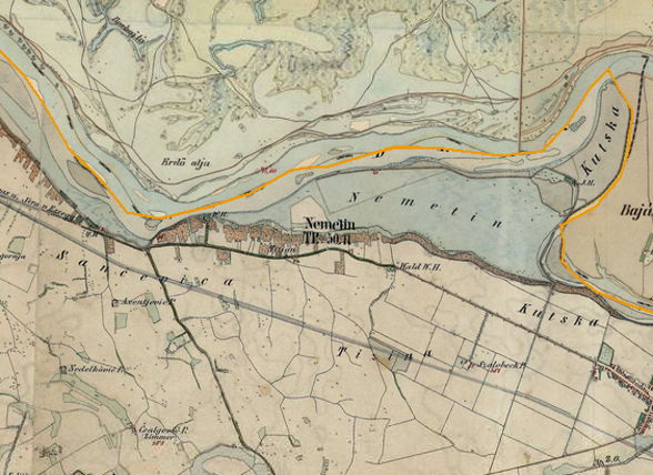
Location: Nemetin – Ad Labores
The Roman crossing over the river Drava was probably located eaast of the village of Nemetin. Numerous remains of the Roman construction material were discovered at the site Močari, south of Nemetin. The most important finds are bricks, including one that bears the stamp of LEG VI HERC.
The site is dated to the 4th century AD.
Literary sources:
Tab. Peut. VI 2, Geogr. Rav. IV 19, IV 20
 Hrvatski
 English