loading map - please wait...![]()
![]()
![]()
![]()
![]()
![]()
Auxiliary fort: Zmajevac – Ad Novas
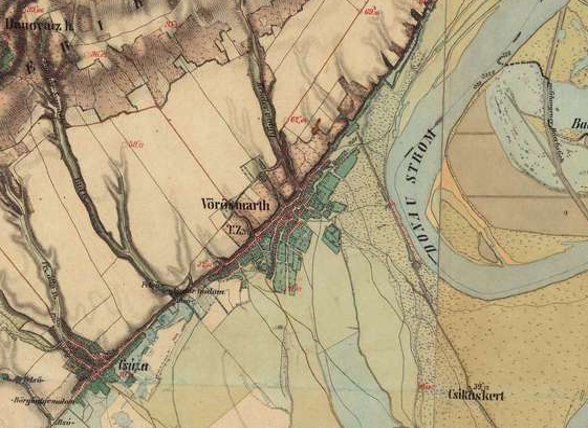
Castellum Ad Novas was located above the today’s village of Zmajevac, on the site called Gradac. The remains of the rectangular fortification that were mentioned in the earliest reports on this site are not visible any more. No archaeological excavations have ever been carried out here; however, numerous finds came from the site, including large number of bricks bearing stamps of Roman military units. A Roman military necropolis was discovered in the vicinity of Gradac in the 1940s. The recent archaeological excavations have discovered 72 Roman graves, with numerous grave goods dated in the 4th century AD.
The castellum was built in the 2nd century AD.
Military units:
equites Dalmatae Novas; equites Dalmatae Albano; cohors I Montanorum; cohors III Alpinorum; cohors VII Breucorumt; legio VI Herculia.
Literary sources:
It. Ant. 243,6 Not.Dign. occ. 32,9 32,28 32,40
Literature:
http://limescroatia.eu/zmajevac-varhegy
 Hrvatski
 English