Lug
loading map - please wait...
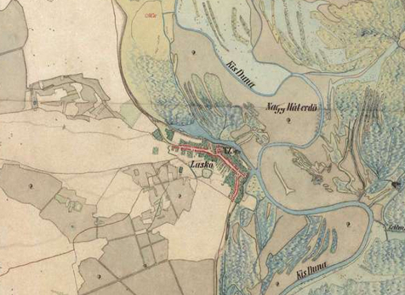
Auxiliary fort: Lug – Albanum
Lug is located on the route of limes road and provides a good strategic position for a military fort that may have stood on the location of the present-day church in the center of the village. Literary sources state that Albanum was the base of equites Dalmatae. A number of Roman graves and coins were discovered in the area, as well as stone inscription that was built into the wall of the local church.
The site is dated to the 3rd and 4th century AD.
Military units:
equites Dalmatae.
Literary sources:
Not. Dig. occ. 31,9; 32,29
Archaeological monuments:
Votive monument: CIL III 3292=10274 = HD074778
Literature:
 Hrvatski
 English