loading map - please wait...
Auxiliary fort: Dalj – Teutoburgium
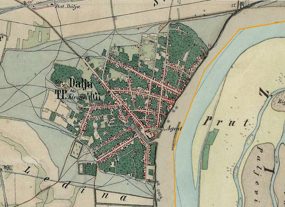
The construction of modern brickyard at the site of Roman auxiliary fort almost totally destroyed remains of the Roman fort. The erosion of the river bank caused by the flow of the Danube also contributes to the destruction of the site. Roman military gravestones were discovered at the site along with numerous military items.
The auxiliary fort was established in the 1st century AD.
Military units:
ala II Hispanorum Aravacorum, ala I civium Romanorum, ala I praetoria civium Romanorum, equites Dalmatae, legio VI Herculia, cohors II Augusta Dacorum pia fidelis.
Literary sources:
Ptolem. Geogr. II 15,3, It. Ant. 243, Tab. Peut. VI 2, Not. Dign. occ. 32,4; 11; 23; 30; 47, Geogr. Rav. IV 20
Archaeological monuments:
Grave monuments: CIL III 3271 = HD073724; CIL III 3272=10257 = HD073719 = lupa 3948; CIL III 3273=10258 = HD073722 = lupa 22328
Votive monuments: CIL III 10255 = HD056620 = lupa 26328; CIL III 10256 = HD074152 = lupa 22685; ILJug 3015 = HD028182 = lupa 22674; HD008670
Literature:
 Hrvatski
 English